

The Greatest Grid: Manhattan Revealed
"Twenty-fifth and Fifth." "Second and Tenth." "One Hundred Eighteenth and Second." "Seventh and First." These are the words of ordinary New Yorkers proudly identifying their location, in a video that introduces the exhibition, The Greatest Grid: The Master Plan of Manhattan, 1811-2011 at Museum of the City of New York.
For those who take the city's Cartesian cross-hatch of asphalt and traffic lights for granted (and that probably includes the majority), this show will be a revelation. It starts with portraits of the Master Plan Commissioners; artifacts including a mile stone from 26th Street and 4th Avenue; surveying instruments; and field books. One of the earliest documents is a British map of fortifications in Manhattan from around 1782 that depicts the island as largely wilderness. Rocky outcrops, inlets, marshes and lagoons interrupt the East River shoreline, which was later bulkheaded and landfilled into its present form.
The original maps created by John Randel, the Secretary and Surveyor General to the Manhattan Master Plan Commission, created at the start of the 19th century, detail the natural and built environment in its minutia. More maps, from every era since demonstrate the power of information to convey not only the territory but the romance of place. For example, on an 1879 map created as an orthographic projection, I located the row of five-storey brownstones in which I live. The area, which in Rendel's earlier map reads as a rocky bluff adjacent to an inlet, had by then been flattened into its present form. So now my connction to the land mass on which I live has greater meaning.
The many photographs of the work in progress show staggering feats of engineering, and the sheer man- and mule-power that went into the execution of the Master Plan. Where there once was mud, then there were broad, flatly graded roads with granite curbs and gravel surfaces. Where there once were squatters' shacks, then there were public squares and sidewalks. In once case, where there once was a three-storey house on a hill, then there was a three-storey house on the remains of a hill that had been chopped off to allow a street and an avenue ram their way through.
Edgar Allen Poe, who lived in a farmhouse on Broadway and 84th Street during the 1840s, was not happy with the modernizations brought on by the grid. "These magnificent places are doomed," he wrote. "The spirit of Improvement has withered them with its arid breath. Streets are already 'mapped' through them and they are no longer suburban residences but 'town lots.'"
But visitors to the exhibition will be intrigued by the different views taken of many familiar locations that have dramatically changed over the last 200 years. The workings of a great city are everywhere in evidence here, with proof that progress requires powerful figures excecising their intelligence. And people who live here can chart the physical evolution of their neighborhoods.

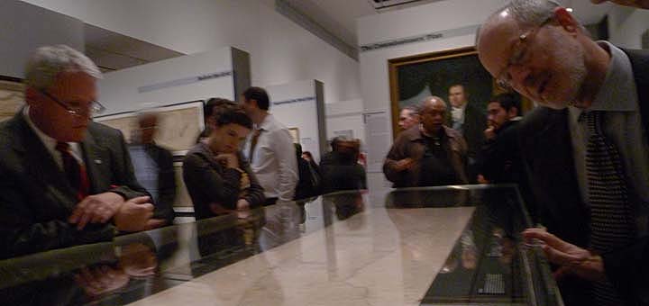
The Greatest Grid: The Master Plan of Manhattan, 1811-2011 continues at Museum of the City of New York through April 15th. Fifth Avenue at 103rd Street, NY, NY. Photos above from the opening on December 5th by Peggy Roalf.
Upcoming public programs include:
Sunday, January 15 at 2:00 pm: The Greatest Grid | Gallery Tour. Exhibition curator Hilary Ballon leads a tour looking at the enduring influence of the grid that has become defining feature of the city, shaping its institutions and public life, and molding the physical growth of the city over the past two hundred years. Free with Museum admission.
Wednesday, February 15 at 6:30 pm: Gridlock! | Congestion and Flow on New York City Streets. Recent innovations by the Department of Transportation have helped to remake the multiple ways New Yorkers get from point a to point b; pedestrian malls, bike lanes, and bus-only lanes are reshaping traffic flows in New York City. Learn how traffic engineers and city planners work to keep traffic moving and explore the innovative and sometimes controversial reforms being made to the streets of New York. Guest curator Hilary Ballon moderates a discussion with Sam Schwartz (a.k.a. "Gridlock Sam") and Bruce Schaller, New York City Deputy Commissioner for Planning and Sustainability. Reservations required. Information.
12212011