

Waterfalls at The Center for Land Use Interpretation
As Falls Wichita, So Falls Wichita Falls. This elegiac line sums up, in my mind, the fate of most urban waterfalls in America.
The falls at Wichita Falls, TX, originally rose just five feet; they were eventually washed away in a flood, and later restored in theme-park style as a roadside attraction. The Wichita River was dammed in the 1920s to form several lakes for flood control, recreation, and local irrigation. Today Wichita Falls and the surrounding areas are in a Stage 5 Drought Disaster, and might be the first American city to adopt treated wastewater for public consumption.
When I saw that The Center for Land Use Interpretation, in Culver City, has put up an exhibition called American Falls: Overlooking Urban Waterfalls, I emailed for information and photographs. Here is what they sent:
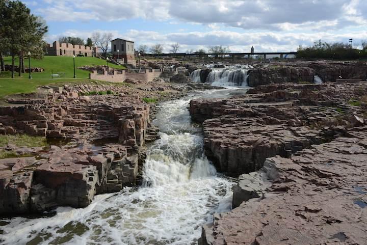
Sioux Falls, Sioux Falls, South Dakota, CLUI photo.
Waterfalls are at the heart of the American pastoral industrial sublime. The early nation, in its Edenic state, abounded with waterfalls—untamed ruptures in a land still forming.
With the nation’s development many of these waterfalls disappeared. Drowned by dams, or dried out by diversions, they were among the first places to be used to capture kinetic energy for commercial use. Waterfalls were also obstacles to trade and transportation, and were therefore submerged, as rivers were flattened, dammed and locked for navigation and flood control.
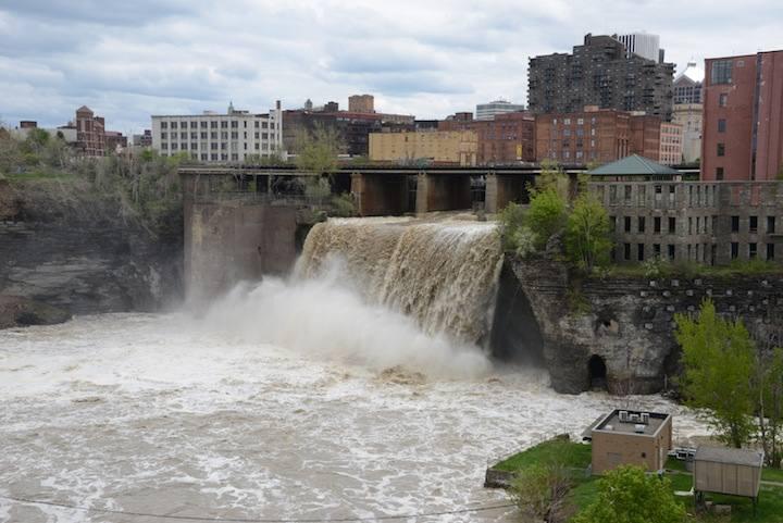
High Falls, Rochester, New York. CLUI photo.
Waterfalls are now found mostly in forests, parks, and preserves, like relics from a natural state. A few specimens, however, remain in the middle of the urban and industrial nation that formed around them, where they are still, slowly and resiliently, at work, eroding.
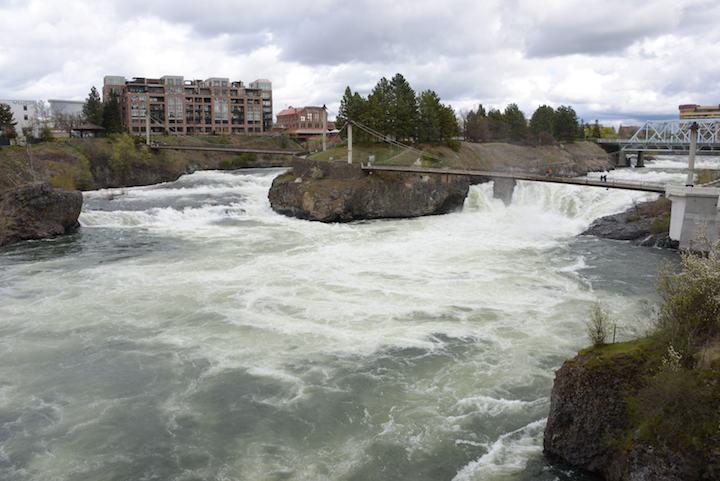
Spokane Falls, Spokane, Washington, CLUI photo.
American Falls: Overlooking Urban Waterfalls continues at The Center for Land Use Interpretation through September 21, 2014. 9331 Venice Boulevard, Culver City, CA.Information. The Center for Land Use Interpretation is dedicated to the increase and diffusion of knowledge about how the nation's lands are apportioned, utilized, and perceived.